Mendooran Food Cycle weekend 4-5 May

The program CLICK HERE, tickets CLICK HERE and cycle routes CLICK HERE are available for the Mendooran Food Cycle weekend on 4-5 May 2024, a CWC fundraiser. Bookings are essential by 30 April (please) for catering purposes, and it also for telling us whether we need to organise extra sessions/destinations.

The weekend emphasises self-guided cycling, with the CWC and local businesses providing destinations and events to cycle to. The program includes ‘pop up’ cafes in the bush, distillery tastings, local produce being used in the evening meal at the Mendooran Showground, architecture/heritage stroll, insight in the honey industry, a Sunday morning market at Blue Sky Cheese. The key get-together event after your day of self-guided cycling is the “Tastes of Mendooran”, starting at 5pm on Saturday 4 May at the Showground BUY TICKET

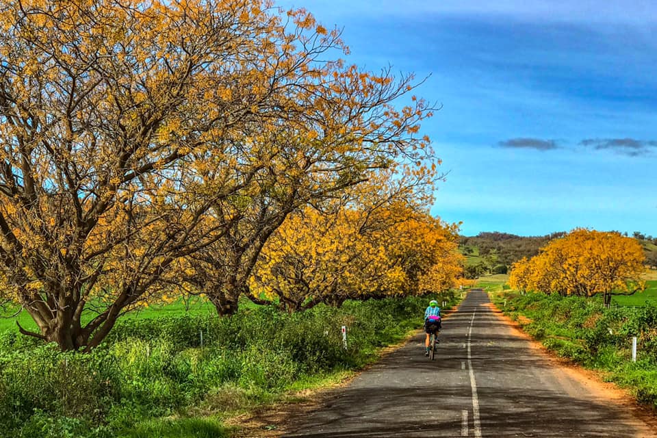
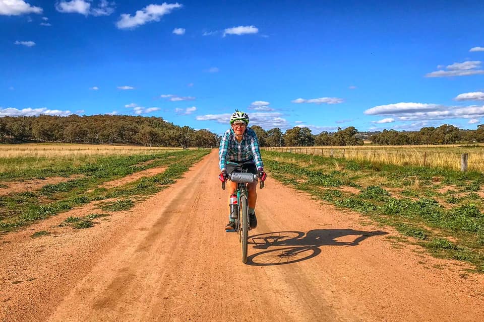
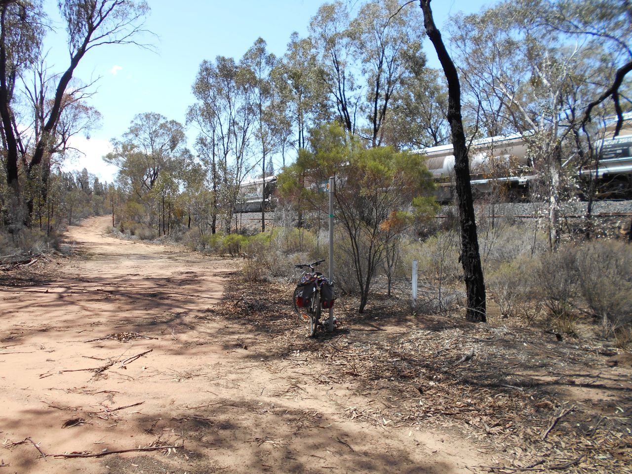
In addition to the events that are being organised people are encouraged to enjoy what the small town of Mendooran provides throughout the year; the classic pub or club meal, local produce of cheese, honey, pickles and meats, a surprise package distillery, a rich trove of photographic opportunities created by a diverse architecture, and some great quiet gravel road cycling.

Importantly the weekend is planned so that it caters for cyclists and non-cyclists. All welcome. Organisational focal point will be the Mendooran Showground where there will be maps of cycling routes in the Dunedoo-Mendooran region. These will be uploaded over the coming month to the Maps page of the CWC website for download.

CWC Guide Book -just released

Trail guide, memento or inspiration to ride is the new 22 page Central West Cycle Trail book.  Each of the 10 legs of the 400km has a separate map, photos, key features and direction notes.   Photographs have been contributed by numerous of the riders of the trail over the last three years.   Although we live in the wonder of the electronic age a publication for browsing or reading jointly with others provides a special joy. Cost is $15.00 (postage included). Go to: CWC Guide Book – Central West Cycle Trail

Unboxing regional bike tourism

Unboxing regional bike tourism

The Central West Cycle Committee, Bicycle NSW and Rail Trails NSW have put out a pre-election call for there to be deletion of the rule requiring the boxing of bicycles on regional trains and Trainlink coaches.

Committee members of the CWC have developed a detailed document (13 pages) about the changes that can be made at low-cost to allow cyclists to roll their bikes on and off regional trains and coaches. See Bicycles on Regional Trains. A good coverage of the issues is on the Bicycle NSW news site.

Dismantling, boxing and weighing bikes just to board TrainLink is a major deterrent to regional tourism. Cycle tourism will continue to prefer Victoria, NZ and Europe over NSW because the outdated TrainLink policy doesn’t support Roll-On Bikes on All NSW Trains.

Taking bikes onto trains/coaches needs to be a customer friendly experience. 

Rain, Signage and Maps – Please read

Rain, Roads and Creeks

The second half of 2022 is typified by rain -unprecedented amounts. 

Before venturing out on any day check the CWC Facebook (tap on FEATURED icon) and other links listed below for road/trail conditions. We strongly recommend support vehicles should plan on limiting themselves to the use of sealed (bitumen) roads. 

The Facebook rather than the website will be the vehicle for the most up to date information known to the Committee because of the ability to quickly make updates from the field, through a number of observers. But riders/support teams are finally responsible for decisions as independent travellers about the route they take and whether to proceed.

Useful links are: 

Warumbungle Shire Council link:

 Road Closures – Warrumbungle Shire Council (nsw.gov.au)

Mid-Western Regional Council link:

 Current Road Closures | Disaster Dashboard (disasterdashboards.com)

Dubbo Regional Council link:

ROAD CLOSURES – Dubbo Regional Council (nsw.gov.au)

Other essential links are for Goonoo State Forest and for drier times Fires Near Me.

Circumstances can change before warnings can be posted, as such people have to make their own assessment of risk and be sufficiently prepared with supplies to not have to take risky options. It is our local experience that roads can become impassable due to bogging and fast or deep water well before there is signage erected by authorities.

Signage and maps

Do not depend on signage alone to navigate the CWC – following a map is essential!!

The CWC has tried to place oval signage on all major intersections to assist navigation. But there are gaps!

The BLACK arrows depict an anti-clockwise route, and the WHITE are clockwise. The directional stickers are all black arrows regardless of direction.

We are only allowed to place oval signage on traffic information signposts and not traffic control posts and as a result are limited where they can go, so if there is no suitable post there won’t be a sign. Note there are no oval signs in the Goonoo Forest as we can’t get approval from National Parks only the black arrow stickers in both directions.

ALTERNATIVE ROUTES IN DOWNPOURS

Recent rains have created challenges for riders. Below are some alternatives for known problem areas. We are looking to expand our range of options available to cater for adverse weather.   Meanwhile, do not hesitate to call any of the contacts listed on this website for advice.

1, Wellington-Dubbo

Recently routes can be cut between Geurie and Dubbo both on Old Dubbo Road and roads out of Wongarbon to Dubbo.    

Alternative route is “Dubbo-Wellington sealed”– south of Macquarie River 59.8km mapped by Mick Cooper.

To see route CLICK HERE

2. Wellington-Gulgong

Main trouble arises on this route at Uamby Creek about 10km from Goolma  on the Uamby Rd towards Wellington. The alternative route to Goolma is to follow 12 Mile Rd and miss Uamby Rd.

To see route CLICK HERE

Because of recent roads works at a causeway there was another ‘road closed’ section 5km along Mebul Rd from the Goolma end.  This is not expected to be a long-term problem. However, whilst work happens in May and June 2022 problems could arise if heavy rains occur. People have been forced onto the Goolma-Wellington Rd which is not pleasant.  We are looking at alternative options.

General experience across the CWC has been that troubles arise within the 12 to 24 hrs of heavy rains – with most creeks receding quickly without further rain and gravel roads drying.  Being able to alter timetable with a Plan B is very valuable.

The CWC is characterised by quiet gravel roads and creek crossings without bridges – either a concrete causeway or stream bed itself.  This means you enjoy many many kilometres of quiet cycling. The flip side is there is no ‘big road’ engineering to protect you from the effects of heavy downpours.

Old Dubbo Rd (Dubbo to Geurie) added

The CWC website now carries mapping for utilizing the option of going between Dubbo and Geurie via Old Dubbo Rd, distance 32 km.  This route option creates a loop for those going into Dubbo on their way between Geurie (Wellington) to Ballimore. Previously the route into Dubbo from Wongarbon was very similar to the onward leg to Ballimore from Dubbo.

The trail option is in the Map section of the CWC website is listed as 6a in the PDF and RideWithGPS links.  The new route is also covered in the trail description on the website in the Dubbo-Geurie section.  On route you will go by the Pioneer Cemetery and the Dun Lah Café 0419 981 626 (check opening hours on its webpage).   The loop Dubbo – Old Dubbo Rd – Geurie – Wongarbon-Dubbo is a ‘day trip’ option if you stay over in that part of CWC region.  A little insight from Mick Cooper  at (14) Central West Cycle Trail | Facebook.

Initiative for Central West Cycling Trail

Initiative for Central West Cycling Trail

In the last quarter committee meeting of the Mudgee Bushwalking and Bike Riding Inc, in December 2019, there was a discussion about incorporating a Central West Cycling trail.

As you may recall, several years ago, the club formed a sub committee to investigate an initiative for a Rail Trail corridor along the Mudgee region including surrounding towns.

David Allworth et. al. proposed a new initiative, i.e. the Central West Cycling Trail (CWC) in the meeting. The trail will traverse quiet back roads visiting towns in Central West NSW.

An application is being prepared for funding to the Mid-Western Regional Council for signage purposes.